
Illustration
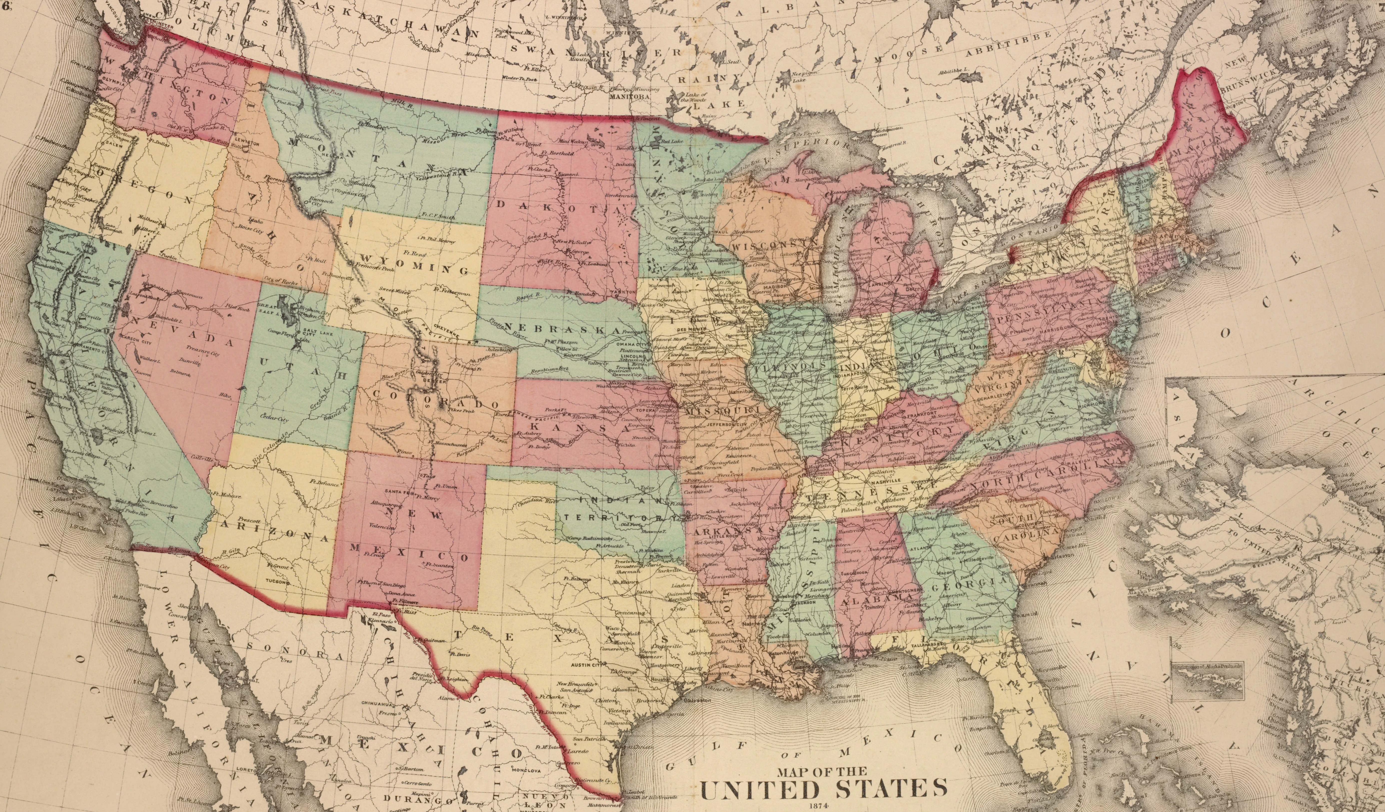
A map of the United States, showing each of its states, published by D.G. Beers & Co. in 1874.
From the Lionel Pincus and Princess Firyal Map Division, The New York Public Library.
Related Images
Image
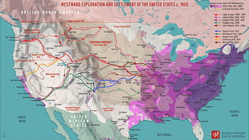
Westward Exploration and Settlement of the United States c.1850
A map illustrating the patterns and routes of westward exploration...

Image
Nesting Least Terns on Missouri River
A nesting least tern pair in the sandbar habitat on the Missouri...
Image
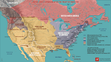
United States Expansion after the Treaty of Paris in 1783
A map illustrating the expansion of the United States of America...

Image
Corn & Cantaloupe by Raphaelle Peale
A still life painting of corn & cantaloupe, two staples of...

Image
Still Life by John F. Francis
A still life by American painter John F. Francis (1808-1886 CE...

Image
Everyday Women's Fashion from Colonial Massachusetts
Illustration of everyday attire from Massachusetts, c. 1757 CE...
Cite This Work
APA Style
Co., D. B. &. (2021, March 24). Map of the United States, 1874. World History Encyclopedia. Retrieved from https://www.worldhistory.org/image/13712/map-of-the-united-states-1874/
Chicago Style
Co., D.G. Beers &. "Map of the United States, 1874." World History Encyclopedia. Last modified March 24, 2021. https://www.worldhistory.org/image/13712/map-of-the-united-states-1874/.
MLA Style
Co., D.G. Beers &. "Map of the United States, 1874." World History Encyclopedia. World History Encyclopedia, 24 Mar 2021. Web. 18 Apr 2024.