
Illustration

Plan of the archeological site of Troy/Hisarlik.
Legend:
1: Gate
2: City Wall
3: Megarons
4: FN Gate
5: FO Gate
6: FM Gate and Ramp
7: FJ Gate
8: City Wall
9: Megarons
10: City Wall
11: VI. S Gate
12: VI. H Tower
13: VI. R Gate
14: VI. G Tower
15: Well-Cistern
16: VI. T Dardanos Gate
17: VI. I Tower
18: VI. U Gate
19: VI. A House
20: VI. M Palace-Storage House
21: Pillar House
22: VI. F House with columns
23: VI. C House
24: VI. E House
25: VII. Storage
26: Temple of Athena
27: Entrance to the Temple (Propylaeum)
28: Outer Court Wall
29: Inner Court Wall
30: Holy Place
31: Water Work
32: Parliament (Bouleuterion)
33: Odeon
34: Roman Bath
License & Copyright
 Based on Wikipedia content that has been reviewed, edited, and republished.
Original image by Bibi Saint-Pol. Uploaded by Jan van der Crabben, published on 26 April 2012. The copyright holder has published this content under the following license: Public Domain. This item is in the public domain, and can be used, copied, and modified without any restrictions. Please note that content linked from this page may have different licensing terms.
Based on Wikipedia content that has been reviewed, edited, and republished.
Original image by Bibi Saint-Pol. Uploaded by Jan van der Crabben, published on 26 April 2012. The copyright holder has published this content under the following license: Public Domain. This item is in the public domain, and can be used, copied, and modified without any restrictions. Please note that content linked from this page may have different licensing terms.
Related Images
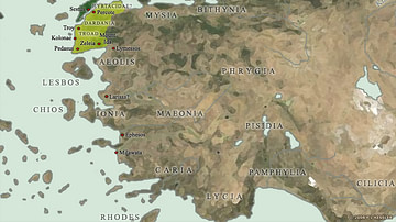
Map of the Trojan War States, c. 1200 BCE
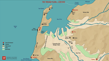
The Trojan Plain c. 1200 BCE
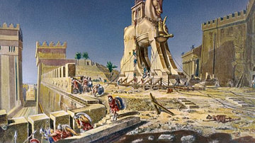
The Trojan Horse
Trojan Horse
Trojan Warrior

Trojan Idol Figurine
Cite This Work
APA Style
Saint-Pol, B. (2012, April 26). Map of Troy. World History Encyclopedia. Retrieved from https://www.worldhistory.org/image/168/map-of-troy/
Chicago Style
Saint-Pol, Bibi. "Map of Troy." World History Encyclopedia. Last modified April 26, 2012. https://www.worldhistory.org/image/168/map-of-troy/.
MLA Style
Saint-Pol, Bibi. "Map of Troy." World History Encyclopedia. World History Encyclopedia, 26 Apr 2012. Web. 15 Apr 2024.