
Illustration
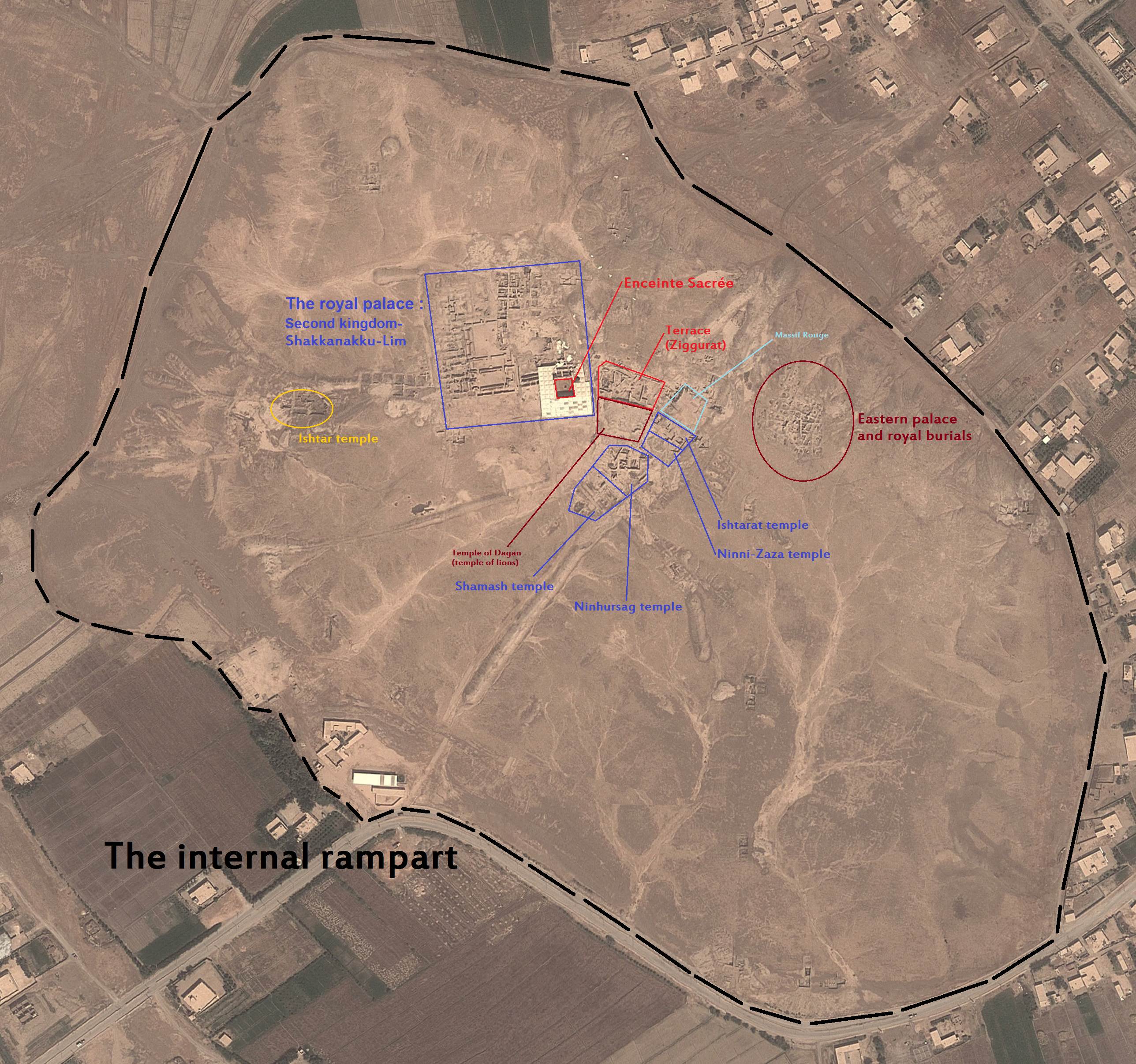
A satellite photograph of the site of Tell Hariri, Syria. Tell Hariri is the site of the ancient city of Mari, which, at various times from c. 3000 BCE - c. 1760 BCE, controlled large portions of Northern Mesopotamia. The photograph has been labelled with the locations of the major monuments at the site that have been excavated. It is unknown when this image was taken however the state of the site suggests prior to 2012 CE as the site has suffered heavy looting since the beginning of the Syrian Civil War.
License & Copyright
 Based on Wikipedia content that has been reviewed, edited, and republished.
Original image by Attar-Aram syria. Uploaded by Henry Curtis Pelgrift, published on 18 January 2016. The copyright holder has published this content under the following license: Creative Commons Attribution-ShareAlike. This license lets others remix, tweak, and build upon a work even for commercial reasons, as long as they credit the author and license their new creations under the identical terms. When republishing on the web a hyperlink back to the original content source URL must be included. Please note that content linked from this page may have different licensing terms.
Based on Wikipedia content that has been reviewed, edited, and republished.
Original image by Attar-Aram syria. Uploaded by Henry Curtis Pelgrift, published on 18 January 2016. The copyright holder has published this content under the following license: Creative Commons Attribution-ShareAlike. This license lets others remix, tweak, and build upon a work even for commercial reasons, as long as they credit the author and license their new creations under the identical terms. When republishing on the web a hyperlink back to the original content source URL must be included. Please note that content linked from this page may have different licensing terms.
Related Images
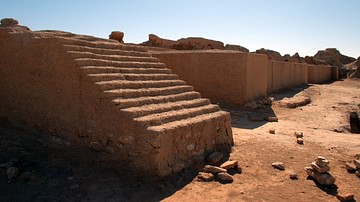
A portion of wall at Mari
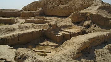
Remains of the ziggurat attached to the so-called Temple of Lions at Mari
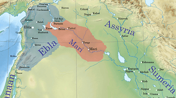
Ebla and Mari during the reign of Iblul-Il of Mari
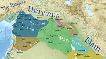
Ancient Syro-Mesopotamia ca. 1764 BCE
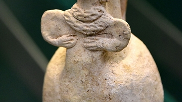
Sprinkler Pottery Figurine from Tabqa-Euphrates Area
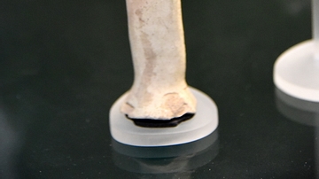
Bearded Male Figurine from Tabqa-Euphrates Area
Cite This Work
APA Style
syria, A. (2016, January 18). Labelled map of Mari, modern-day Tell Hariri, Syria. World History Encyclopedia. Retrieved from https://www.worldhistory.org/image/4416/labelled-map-of-mari-modern-day-tell-hariri-syria/
Chicago Style
syria, Attar-Aram. "Labelled map of Mari, modern-day Tell Hariri, Syria." World History Encyclopedia. Last modified January 18, 2016. https://www.worldhistory.org/image/4416/labelled-map-of-mari-modern-day-tell-hariri-syria/.
MLA Style
syria, Attar-Aram. "Labelled map of Mari, modern-day Tell Hariri, Syria." World History Encyclopedia. World History Encyclopedia, 18 Jan 2016. Web. 18 Apr 2024.