
Illustration
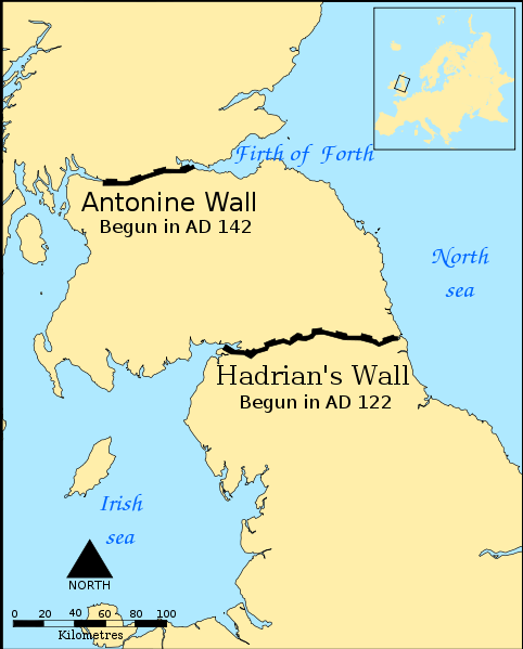
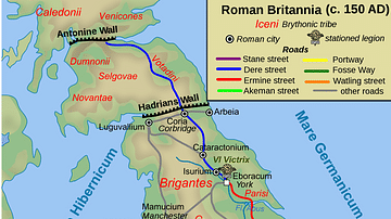
A map indicating the location and extent of the Antonine Wall (140s CE) and Hadrian's Wall (122 CE).
License & Copyright
 Based on Wikipedia content that has been reviewed, edited, and republished.
Original image by Norman Einstein. Uploaded by Mark Cartwright, published on 12 December 2016. The copyright holder has published this content under the following license: Creative Commons Attribution-ShareAlike. This license lets others remix, tweak, and build upon a work even for commercial reasons, as long as they credit the author and license their new creations under the identical terms. When republishing on the web a hyperlink back to the original content source URL must be included. Please note that content linked from this page may have different licensing terms.
Based on Wikipedia content that has been reviewed, edited, and republished.
Original image by Norman Einstein. Uploaded by Mark Cartwright, published on 12 December 2016. The copyright holder has published this content under the following license: Creative Commons Attribution-ShareAlike. This license lets others remix, tweak, and build upon a work even for commercial reasons, as long as they credit the author and license their new creations under the identical terms. When republishing on the web a hyperlink back to the original content source URL must be included. Please note that content linked from this page may have different licensing terms.
Related Images
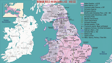
Roman Rule in Britain c.43 - 410 CE

Royal House of Hanover in Britain Family Tree
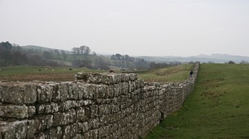
Hadrian's Wall
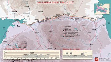
Vallum Hadriani (Hadrian’s wall), c. 122 CE
Map of Roman Britain, 150 AD
Antonine Wall
Cite This Work
APA Style
Einstein, N. (2016, December 12). Map Indicating the Antonine & Hadrian Walls. World History Encyclopedia. Retrieved from https://www.worldhistory.org/image/6131/map-indicating-the-antonine--hadrian-walls/
Chicago Style
Einstein, Norman. "Map Indicating the Antonine & Hadrian Walls." World History Encyclopedia. Last modified December 12, 2016. https://www.worldhistory.org/image/6131/map-indicating-the-antonine--hadrian-walls/.
MLA Style
Einstein, Norman. "Map Indicating the Antonine & Hadrian Walls." World History Encyclopedia. World History Encyclopedia, 12 Dec 2016. Web. 18 Apr 2024.