
Illustration
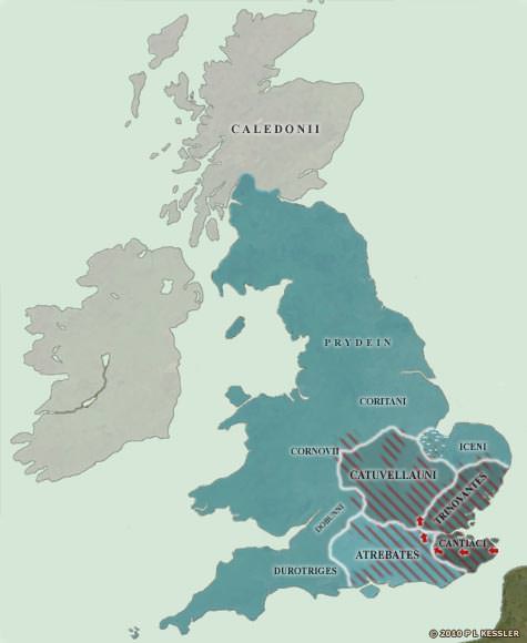
When Julius Caesar landed on the Kent coast in 55 BC, he had a basic knowledge of what to expect of the south-eastern Britons from his dealings with their close relatives on the Continent.
What he wasn't prepared for was the English Channel, and some bad weather almost cost him dear. His expedition doesn't seem to have made it out of Kent's borders on this occasion.
However, when he returned a year later, it was with a much larger force and a much better idea of how to deal with some of the problems.
He quickly defeated the Cantiaci and advanced towards the Thames, crossing it at modern-day Brentford in Essex. He received envoys and offers of friendship from six tribes in the south, although the British tribal names that are mentioned (not shown) cannot be tied in with any later information.
Then he marched on the Catuvellauni stronghold near St Albans, and his victory over them would have delivered him the entire south-east, had he stayed. Instead, he decided to winter in Gaul, and events there conspired to prevent him ever returning to Britain.
Related Images
Map of the British Isles in AD 43
Map of the British Isles in AD 10
Map of Roman Britain, 150 AD

Royal House of Hanover in Britain Family Tree
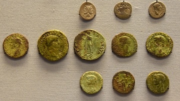
A Roman Soldier's Purse
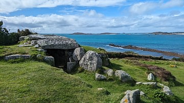
Bant's Carn Entrance Grave
Cite This Work
APA Style
Kessler, P. L. (2012, July 06). Map of the British Isles in 54 BC. World History Encyclopedia. Retrieved from https://www.worldhistory.org/image/739/map-of-the-british-isles-in-54-bc/
Chicago Style
Kessler, P L. "Map of the British Isles in 54 BC." World History Encyclopedia. Last modified July 06, 2012. https://www.worldhistory.org/image/739/map-of-the-british-isles-in-54-bc/.
MLA Style
Kessler, P L. "Map of the British Isles in 54 BC." World History Encyclopedia. World History Encyclopedia, 06 Jul 2012. Web. 16 Apr 2024.