
Illustration
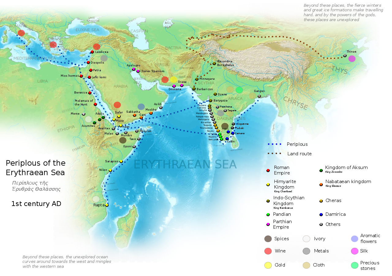
This map is derived from the book Periplus of the Erythraean Sea. It depicts trade routes in the ancient world, ports in the Chera territory and other parts of India and the trade routes connecting them to other parts of the world along with the items of trade.
The Periplus of the Erythraean Sea or Periplus Maris Erythraei was written sometime between the 1st and 3rd centuries CE by an unknown Greek author. Sort of a marine guidebook, it is the record of the author, an experienced sailor, who navigated the Red Sea, Persian Gulf and the Indian coasts of Kerala and Coromandel (eastern coast) and stayed for many years at the western Indian port of Barygaza-Broach.
License & Copyright
 Based on Wikipedia content that has been reviewed, edited, and republished.
Original image by George Tsiagalakis. Uploaded by Dr Avantika Lal, published on 15 August 2018. The copyright holder has published this content under the following license: Creative Commons Attribution-ShareAlike. This license lets others remix, tweak, and build upon a work even for commercial reasons, as long as they credit the author and license their new creations under the identical terms. When republishing on the web a hyperlink back to the original content source URL must be included. Please note that content linked from this page may have different licensing terms.
Based on Wikipedia content that has been reviewed, edited, and republished.
Original image by George Tsiagalakis. Uploaded by Dr Avantika Lal, published on 15 August 2018. The copyright holder has published this content under the following license: Creative Commons Attribution-ShareAlike. This license lets others remix, tweak, and build upon a work even for commercial reasons, as long as they credit the author and license their new creations under the identical terms. When republishing on the web a hyperlink back to the original content source URL must be included. Please note that content linked from this page may have different licensing terms.
Related Images
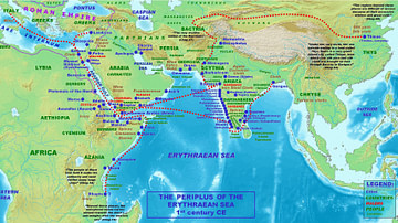
Periplus of the Erythreaen Sea
The Periplus of the Euxine Sea, c. 130 CE
Recreation of a Roman Port
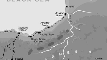
The Caucasian Frontier of the Roman Empire
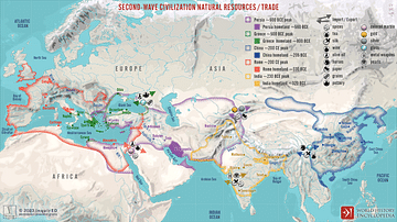
Second-Wave Civilization Natural Resources and Trade

Arjuna During the Battle of Kurukshetra
Cite This Work
APA Style
Tsiagalakis, G. (2018, August 15). Ancient Indian Maritime Trade Routes. World History Encyclopedia. Retrieved from https://www.worldhistory.org/image/9102/ancient-indian-maritime-trade-routes/
Chicago Style
Tsiagalakis, George. "Ancient Indian Maritime Trade Routes." World History Encyclopedia. Last modified August 15, 2018. https://www.worldhistory.org/image/9102/ancient-indian-maritime-trade-routes/.
MLA Style
Tsiagalakis, George. "Ancient Indian Maritime Trade Routes." World History Encyclopedia. World History Encyclopedia, 15 Aug 2018. Web. 18 Apr 2024.